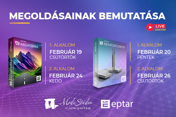
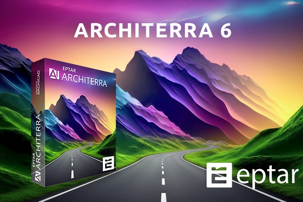
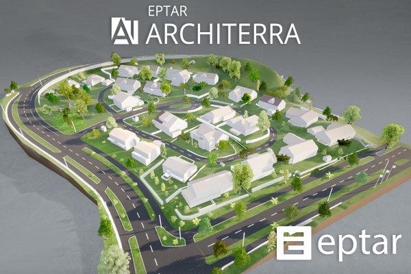
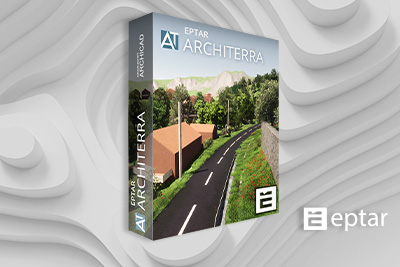
Elérhető az Architerra 3.0 "Granit" verzió
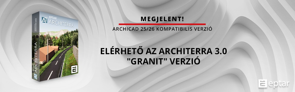
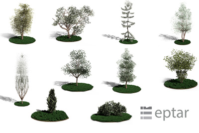
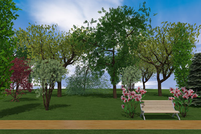
Az Éptár Architerra megoldás egy kiegészítő program, mely a Graphisoft Archicad BIM programjához készült. ArchiCAD kiegészítőink listája ismét egy megújult megoldással bővült. Az ArchiTerra egy nagyon hasznos megoldás terepadatok, geodéziai felmérések feldolgozására, kezelésére az ArchiCAD munka során, mivel a kapott adatokat 2D és 3D szinten illeszti be az Archicad tervbe és olyan elemek hozhatók létre a területen, mint az utak, a vasútvonalak, terek, parkolók, járdák és az épületek.
Ezzel az ArchiTerra képes megoldani a felhasználók egy olyan gyakori problémáját, melyet az ArchiCAD önmagában nem képes kezelni: háromdimenziós terepmodellek létrehozása, kezelése és abból fontos mennyiségi adatok kinyerése a munkaszervezés, és a költségek meghatározásához.
A Architerra 3.0 ARCHICAD 26 kompatibilis és tartalmaz számos új funkciót, melyek még könnyebbé teszik a felhasználók munkáját.
Új funkciók:
- Archicad 26 kompatibilis
- Új eszköz: Lejtésvizsgálat. Ezzel az eszközzel le tudjuk kérdezni a terep bármely két pontja között a lejtés mértékét százalék vagy fok értékben.
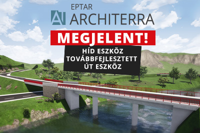
- Új eszköz: árok elem, amivel az út mellé vagy szabadon definiált nyomvonalra vízelvezető árkokat készíthetünk.
- Új eszköz: út szegély eszköz. Segítségével szabadabban hozható létre útszegély az út bármely szakaszán, mely illeszkedik az út magasságához.
- Frissített felhasználói felület
Ezzel az új frissítéssel a ArchiTerra megoldás sokkal felhasználóbarátabb lett.
Vegye fel a kapcsolatot országa viszonteladójával és látogasson el weboldalunkra, még több információért.
BIM shop
 Mint minden weboldal, az eptar.hu is sütiket használ a jobb és biztonságosabb működés érdekében.
További információk
Mint minden weboldal, az eptar.hu is sütiket használ a jobb és biztonságosabb működés érdekében.
További információk