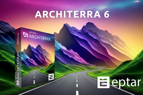
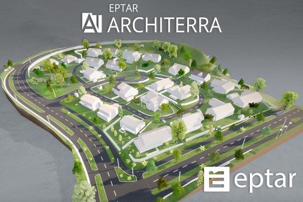
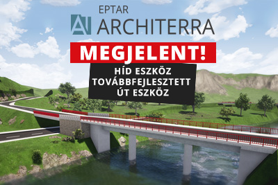
Architerra 6 Tereptervezés új szinten az Archicad-benÚjdonságok, bevált funkciók és terepkezelés egyetlen kiegészítőben.
Az építészek gyakran szembesülnek azzal a kihívással, hogy terveiket valós környezetbe kell helyezniük. Az ArchiCAD azonban önmagában nem kínál fejlett eszközöket 3D terepmodellek kezelésére - itt lép be az Éptár Architerra 6.
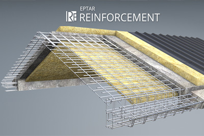
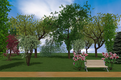
Az Architerra a legnagyobb területek modellezését is egyszerűvé és látványossá teszi: valós földmunka-alapú utak, fennsíkok, árkok, vasutak és hidak helyezhetők el, a környezet topográfiájának teljes figyelembevételével. A program nemcsak megjeleníti, hanem kiszámolja a földmunka mennyiségét, és pontos színkódolt lejtés- és rézsűelemzést ad.
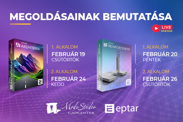
Architerra 6 megjelenési dátuma: 2025. szeptember 22.
Újdonságok az Architerra 6-ban
Új, modern felület minden eszközhöz - külön beállítóablakok a gyorsabb és átláthatóbb munkához
Út- és vasúteszköz referencia vonalhoz kapcsolható, így a módosítások jóval egyszerűbbek
Szabad szerkesztésre leválasztható referencia vonal, valamint új úttest-vastagság és egyedi útprofil beállítási lehetőség
Útszegély és árok eszközök: külön ablakban szerkeszthetők, és az út módosításakor automatikusan frissülnek
Gradiens eszköz: a lejtés már aránypárként is megjeleníthető
Miért érdemes használni?
Teljes 2D és 3D terepmodellezés DXF, SHP vagy TXT fájlokból, illetve kézi szerkesztéssel
Valós földmunka alapú modellezés, pontos mennyiségszámítással
Automatikus kontúrvonalak, hossz-szelvények, lejtés- és rézsűszínezés
Utak, vasutak, hidak, vízmedrek, támfalak, épülettömegek elhelyezése a terepen
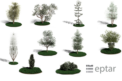
Élő környezet létrehozása fák, objektumok, vízfelületek elhelyezésével
Licenckölcsönzés, hogy internetkapcsolat nélkül is dolgozhass
Új nyelvi támogatás: a program mostantól magyar és spanyol nyelven is elérhető
Az Architerra 6 tökéletes kiegészítő az ArchiCAD mellé: leegyszerűsíti a terepmodellezést, miközben látványos, pontos és mérnöki pontosságú eredményt ad.

 Mint minden weboldal, az eptar.hu is sütiket használ a jobb és biztonságosabb működés érdekében.
További információk
Mint minden weboldal, az eptar.hu is sütiket használ a jobb és biztonságosabb működés érdekében.
További információk